The 9th Annual Mississippi Geospatial Conference was a success! Thank you all for participating and helping to make this wonderful conference, and community, a reality. Feel free to check out some of the statistics and key points from the conference below.
Statistics
This was the biggest MGC to-date. Since we know many of you like to see the data, we gathered some statistics for you here:
- There were 143 total attendees.
- Attendees came from 5 different states (MS, TN, LA, TX, and NC) *
- 37 of the attendees were students.
- 15 from the University of Southern Mississippi
- 3 from Mississippi State University
- 4 from Delta State University
- 15 from Mississippi Coding Academy
- There were 10 different vendors at the conference.
- The Student Poster Competition had 5 entries this year – all attending public universities participated
*Note: Attendees are not required to share the state they are from when registering. It is an optional field, and more states may have been represented.
Lifetime Achievement Award
This year, the Lifetime Achievement in GIS Award was given to Michael ‘Mike’ Miller, posthumously. His family was there to accept the award on his behalf.

Student Poster Competition
This year saw five entries into the student poster competition. Each of the public universities in attendance had at least one entry. The first and second place entries both received the Mike Miller Memorial Scholarship. The entries were:
- Digital Mapping of Organic Carbon in Low-lying Paddy Soil of Bangladesh by Jannatul Ferdush, Zia Ahmed, GKM Mustafizur Rahman, Hasan Muhammad Abdullay, and Varun Paul of Mississippi State University (First Place)
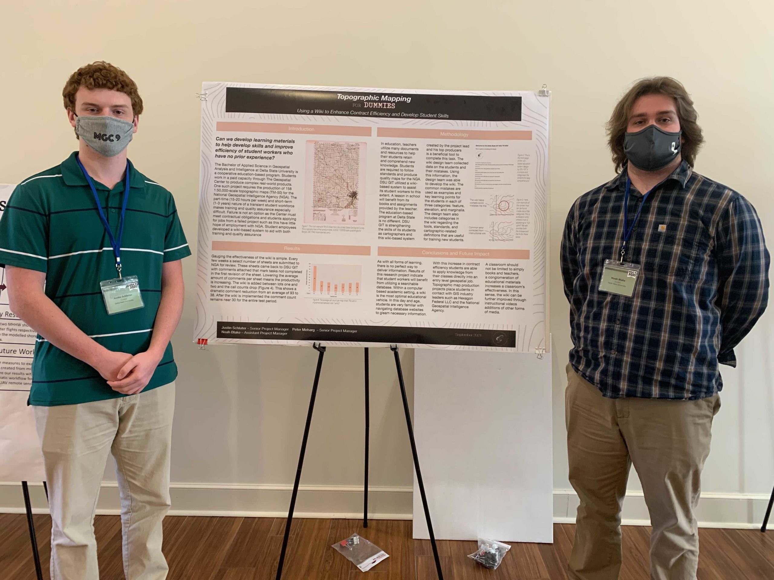
- Using a Wiki to Enhance Contract Efficiency and Develop Student Skills as Topographic Map Makers by Justin Schluter, Peter Meharg, and Noah Blake of Delta State University (Second Place)
- Advancements in the Additive Manufacturing of Maps by Sam Humphries of Delta State University
- Mapping Mississippi’s Coastline by Samuel Wyatt and George Raber of The University of Southern Mississippi
- Monitoring Seasonal Water Quality for Southeastern U.S. Watersheds Using Remotely-Sensed Data Integrated into Dynamic SPARROW Models by Mohammad Al-Hamdan of the University of Mississippi
Elections
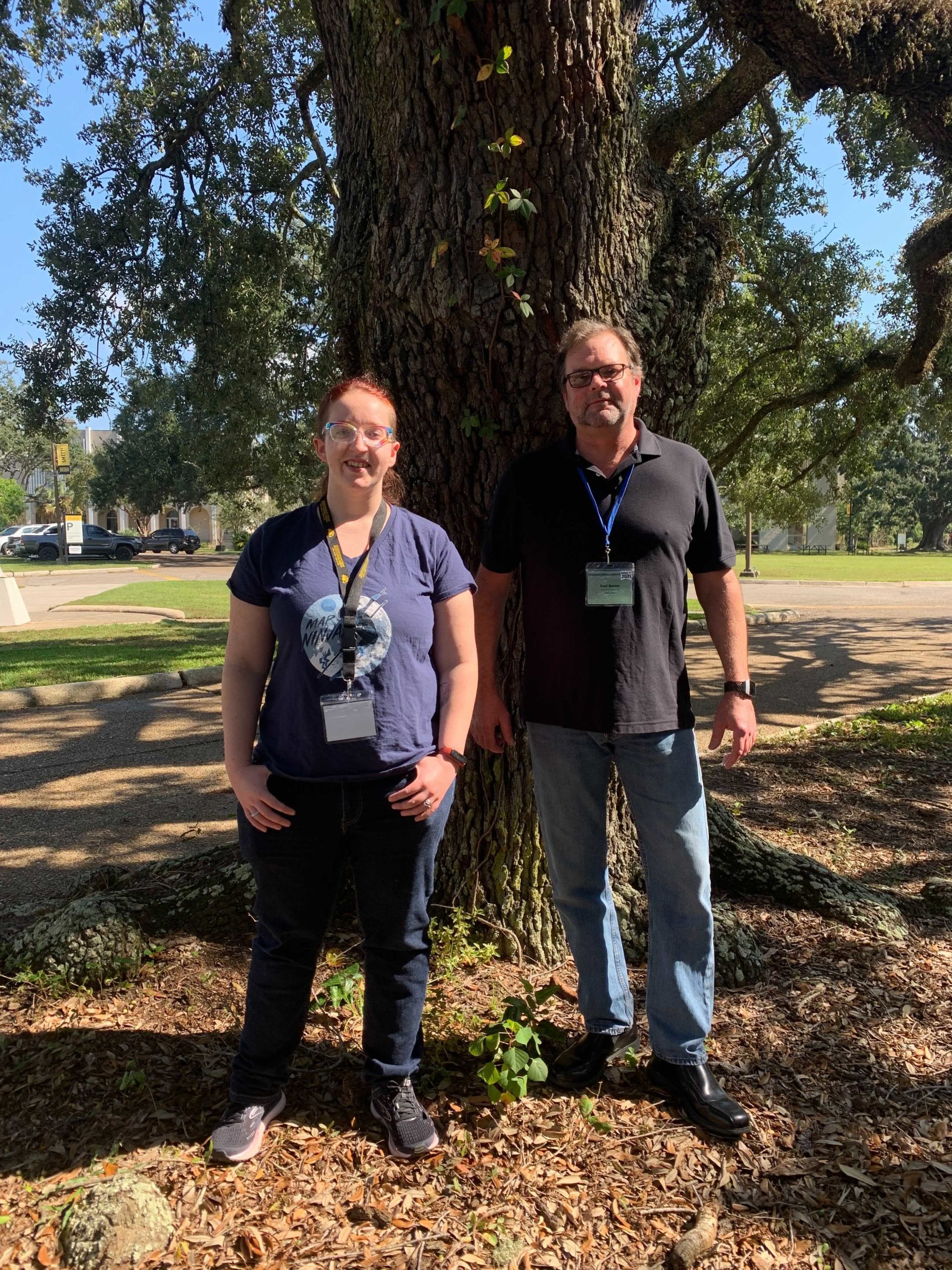
This year, MAST Secretary and Treasurer were up for election. Congratulations to Courtney Menikheim and Paul Barnes for being re-elected to serve in their respective roles.